Storm Chase Details
Miles Logged: 101
States Chased: OK
Tornadoes Witnessed: 1
Storm Mode: Supercell - HP, Supercell - Hybrid, QLCS / Squall Line

Highest Wind Encountered: 65 MPH
Severe Risks: SPC Outlooks
Severe Reports: Storm Reports
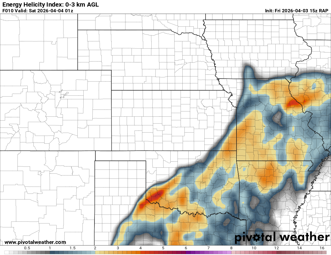
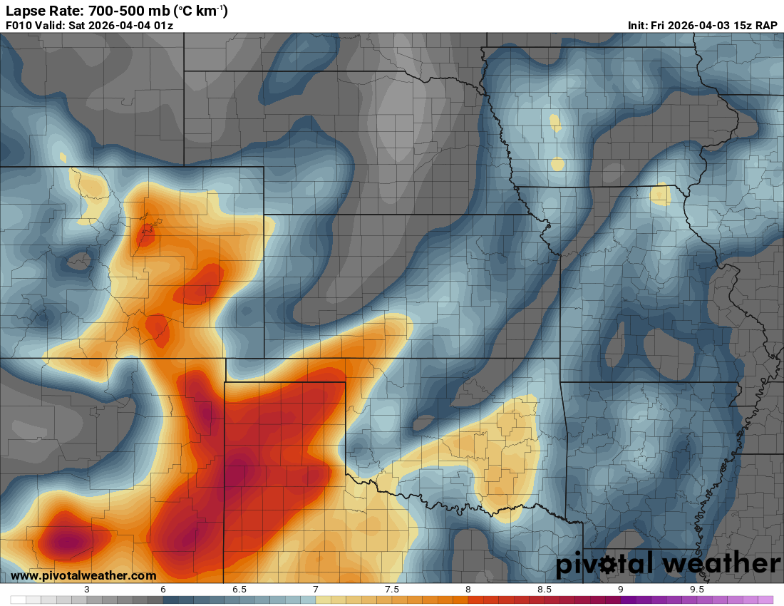
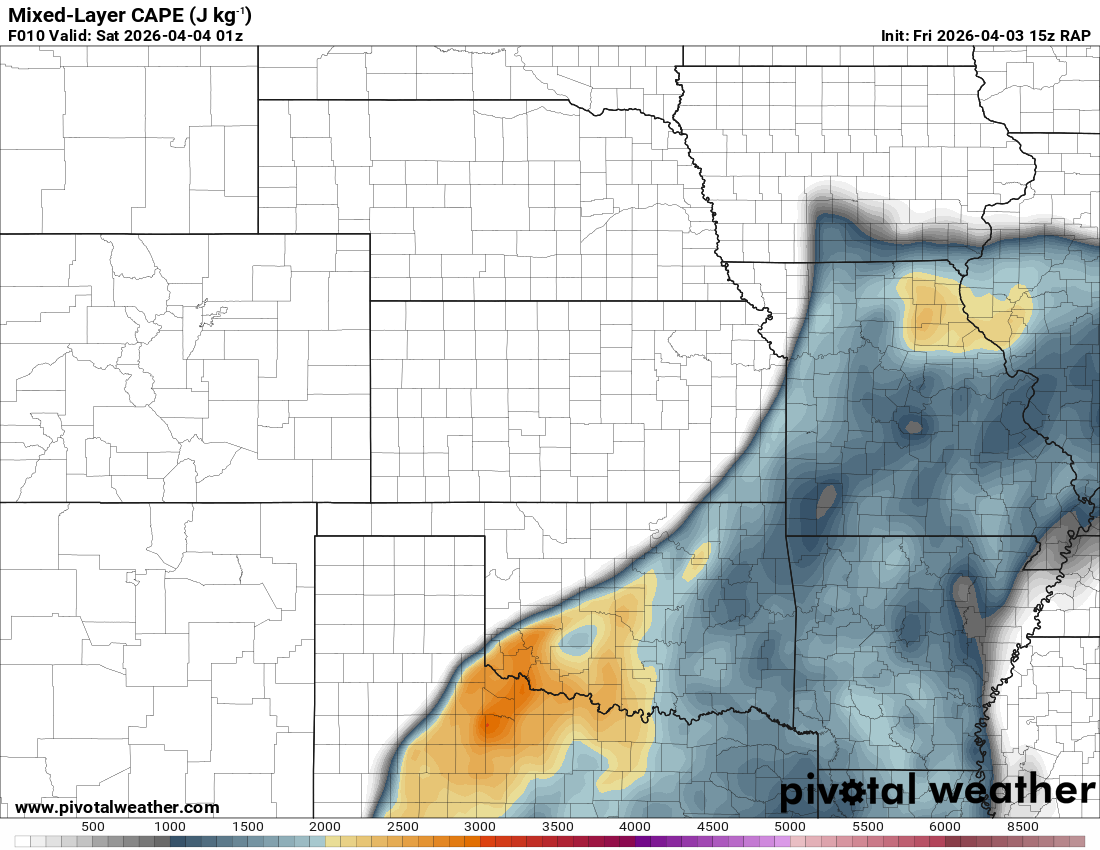
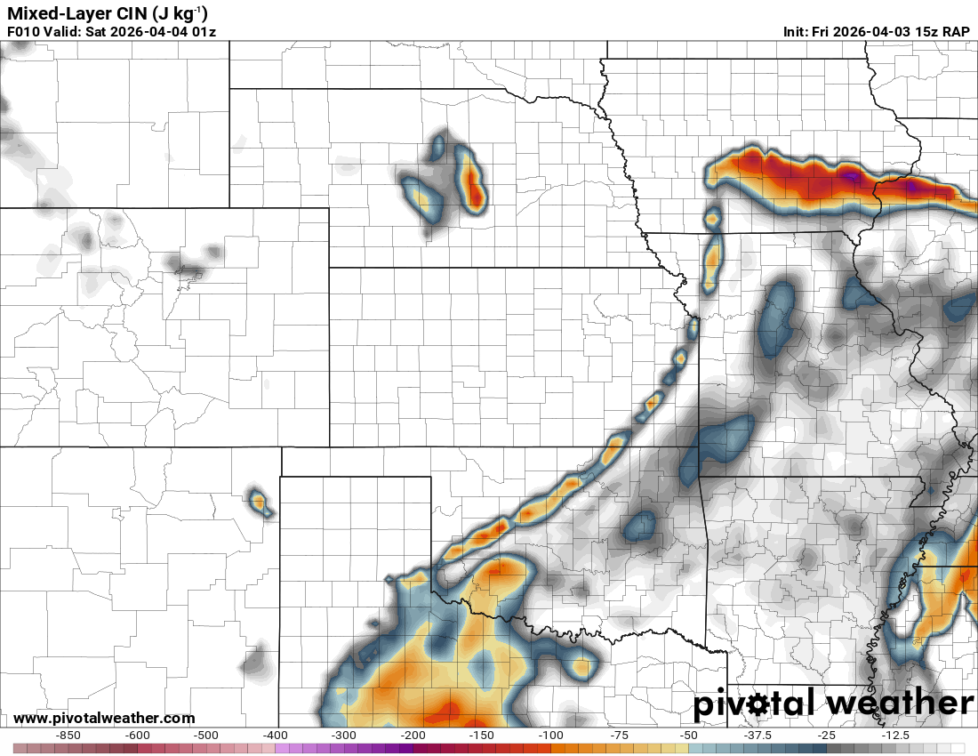
A standard Slight Risk/2% tornado threat for an expected squall line of storms associated with the upper level shortwave.
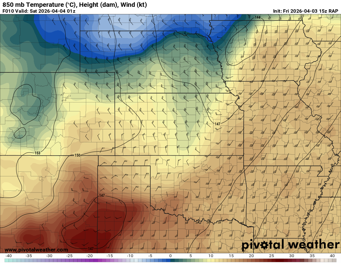
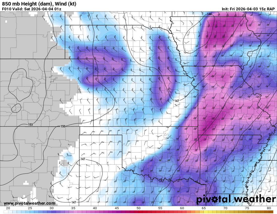
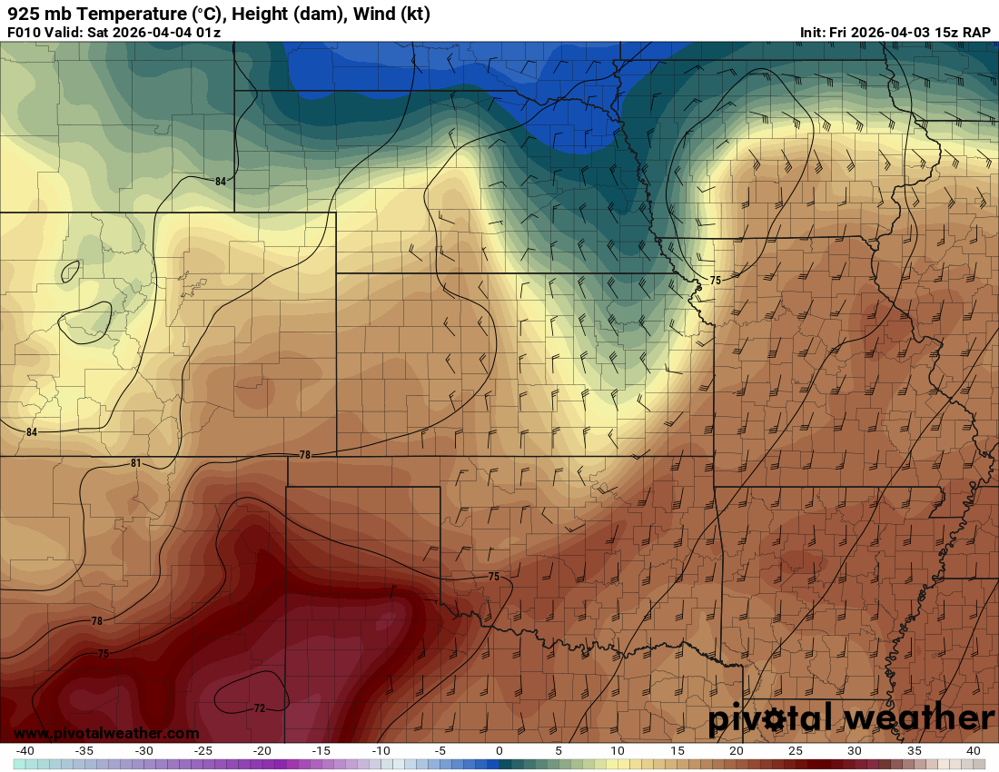
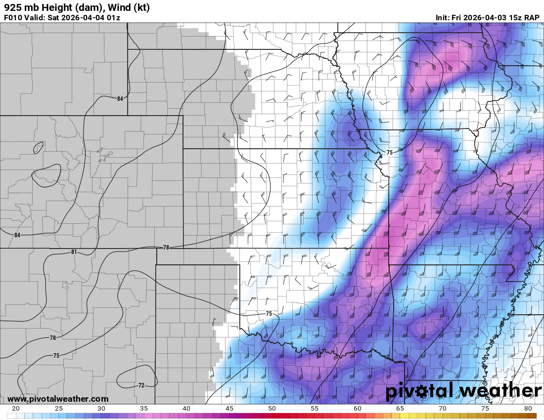
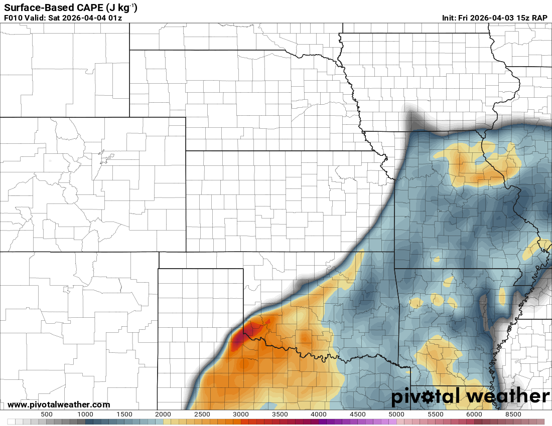
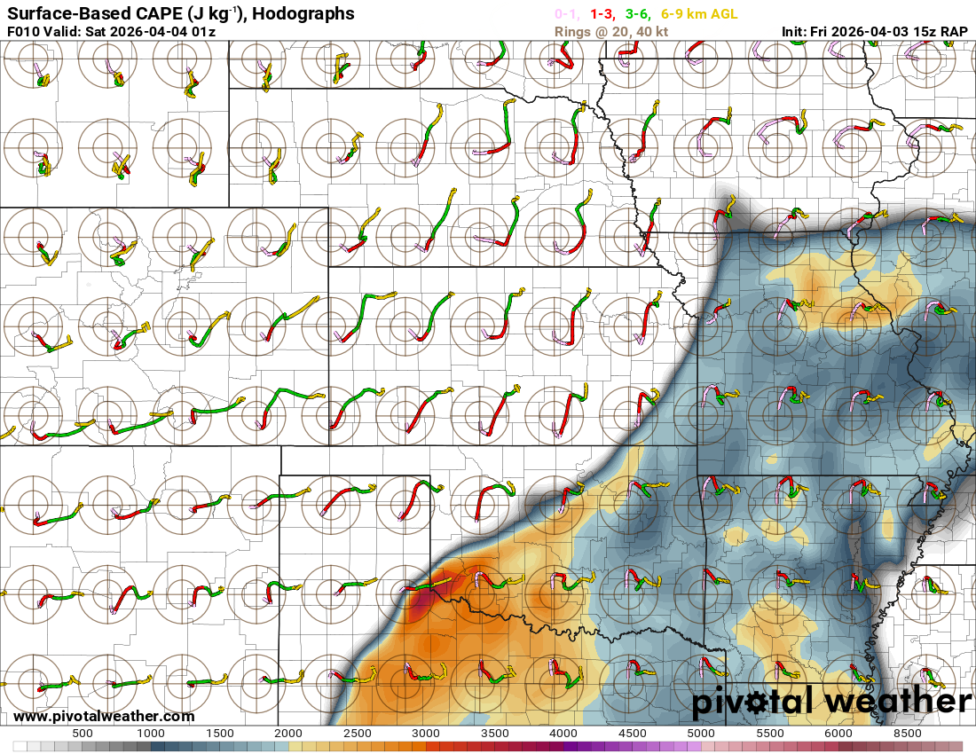
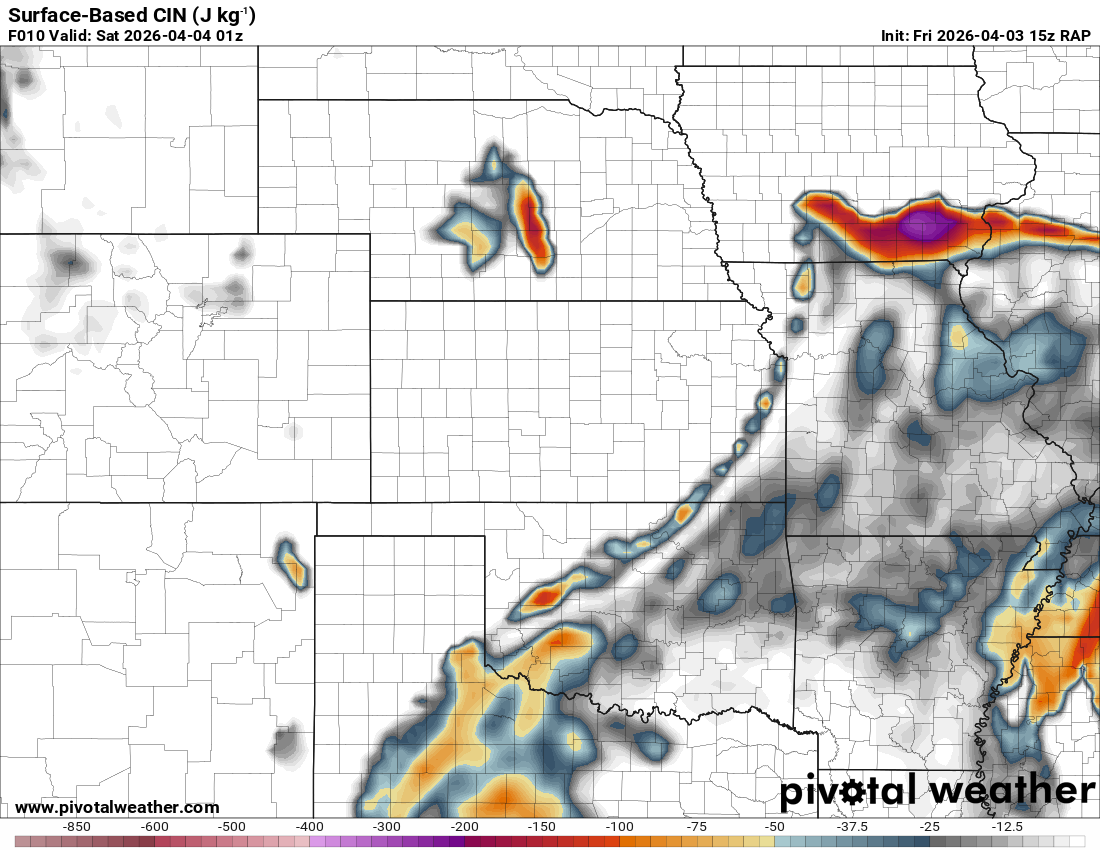
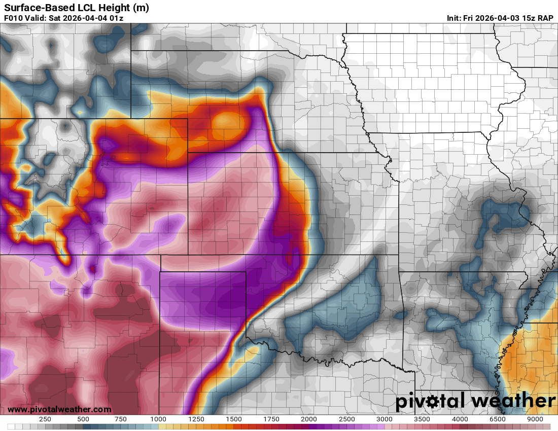
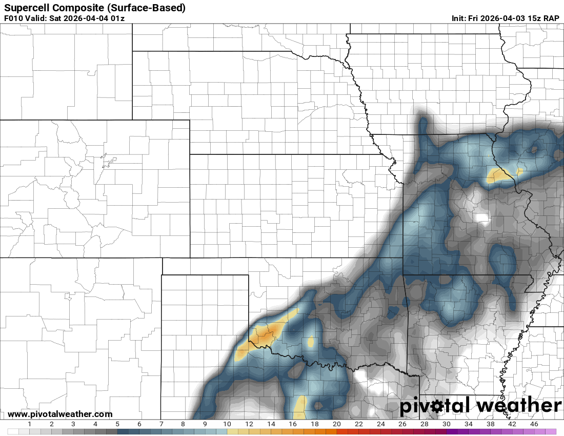
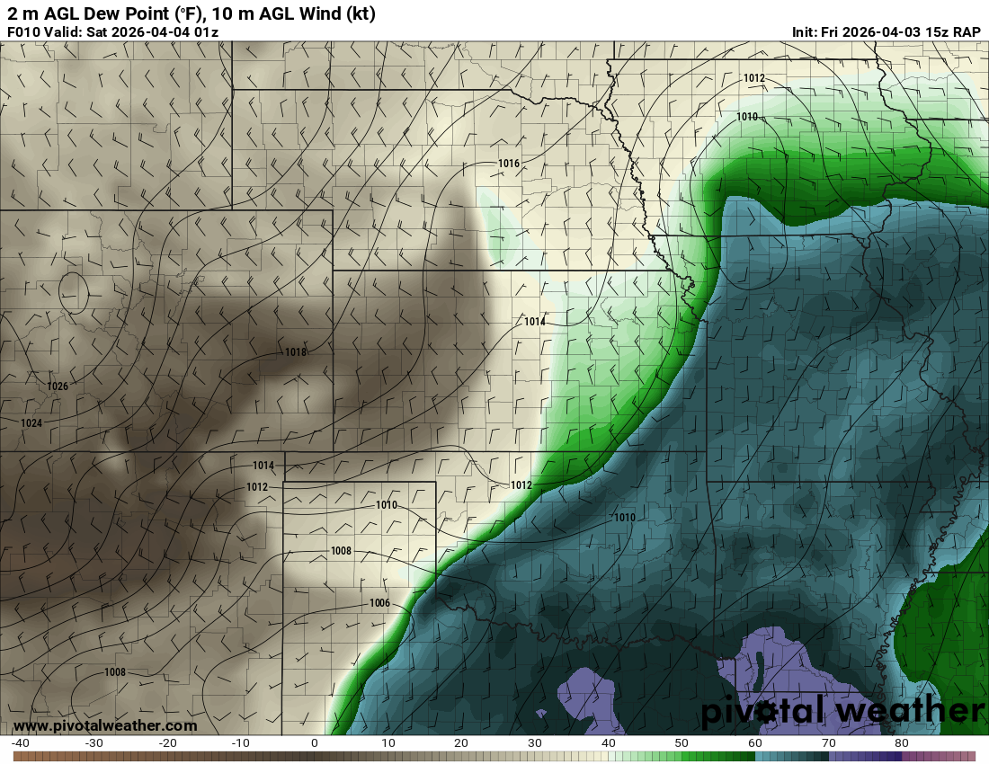
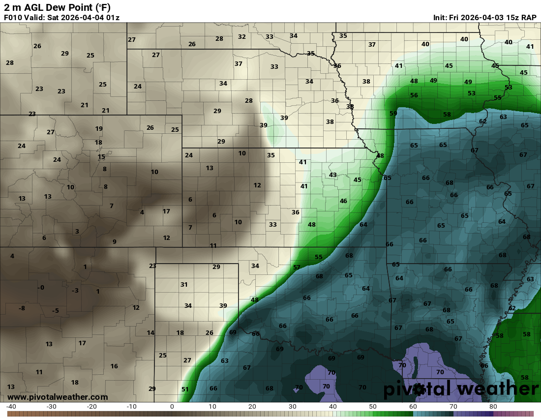
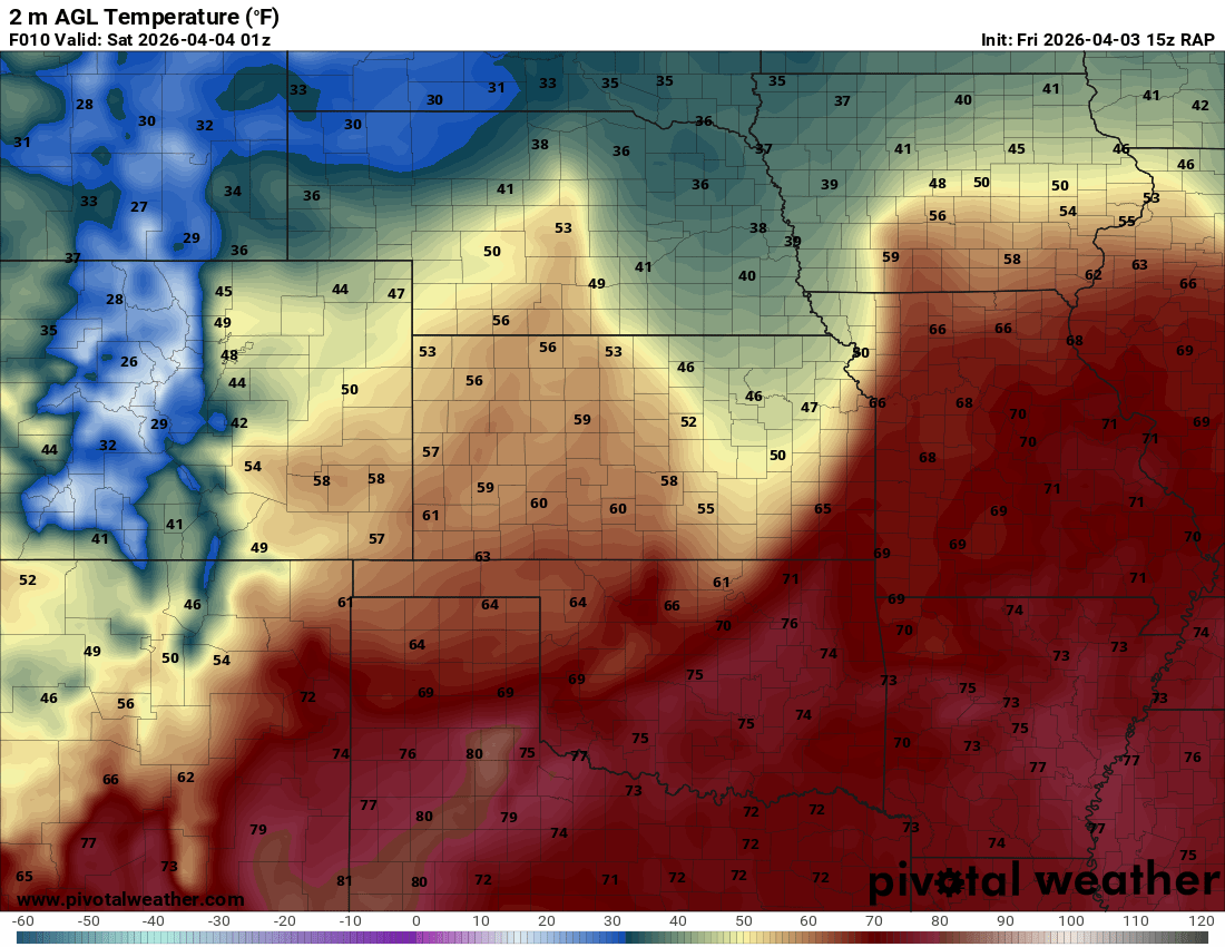
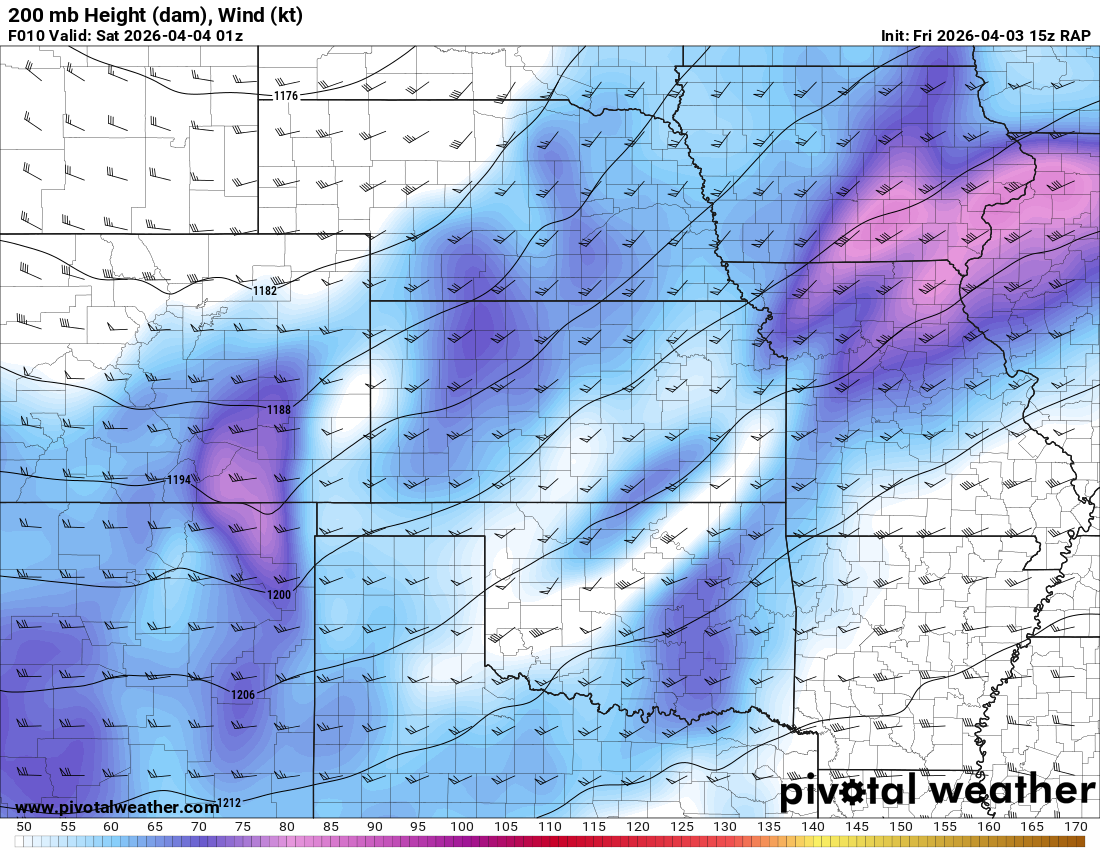
15Z RAP for 8pm CDT/01Z
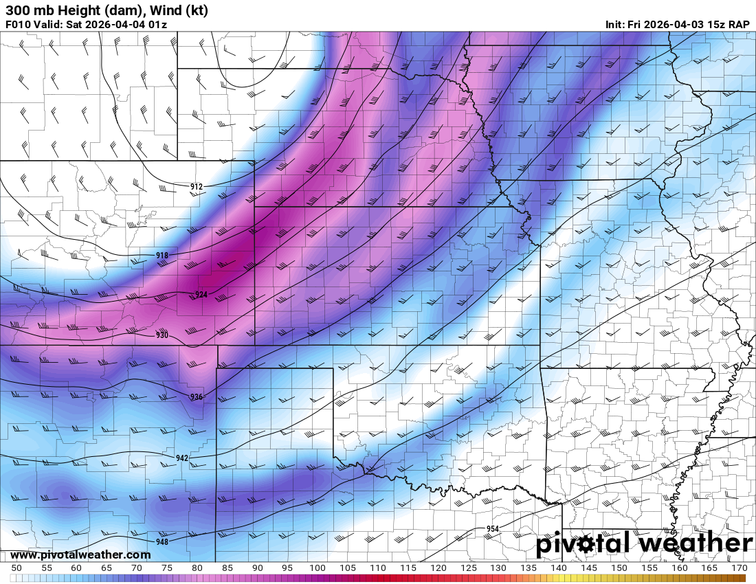
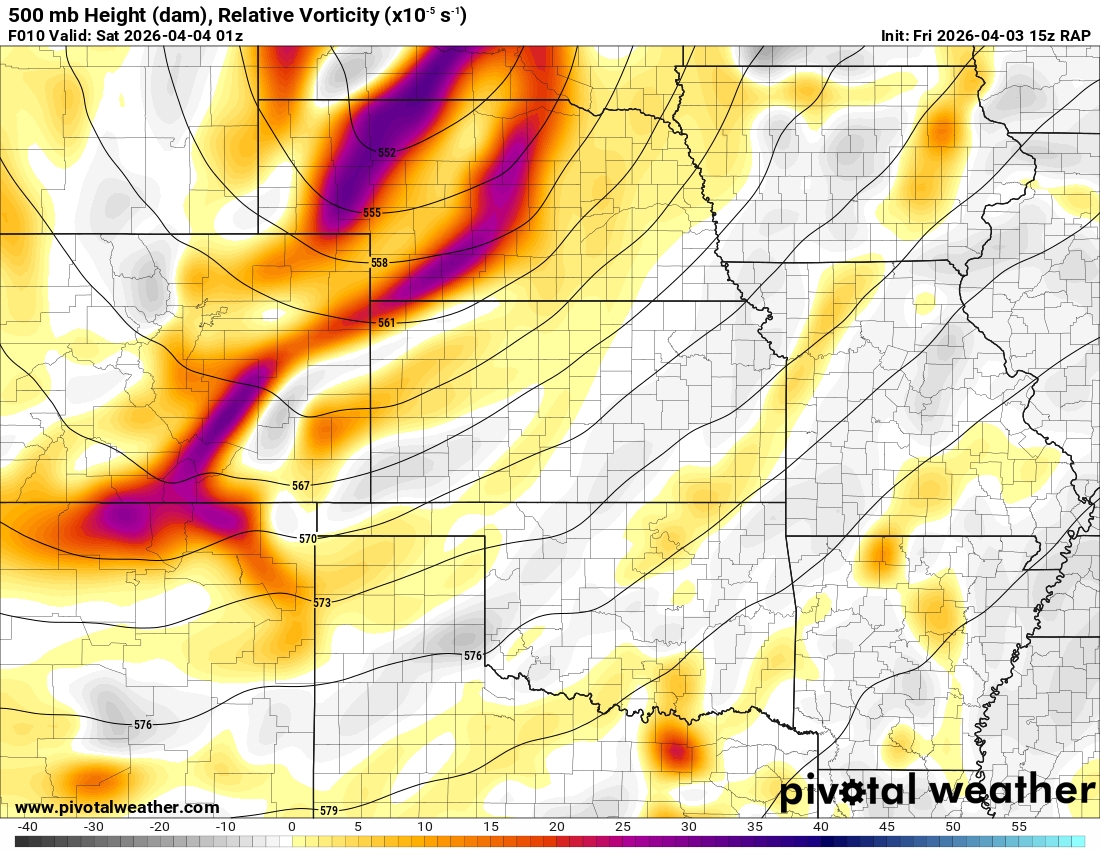
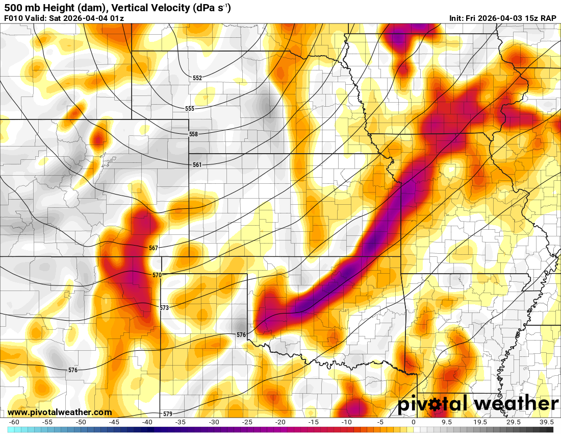
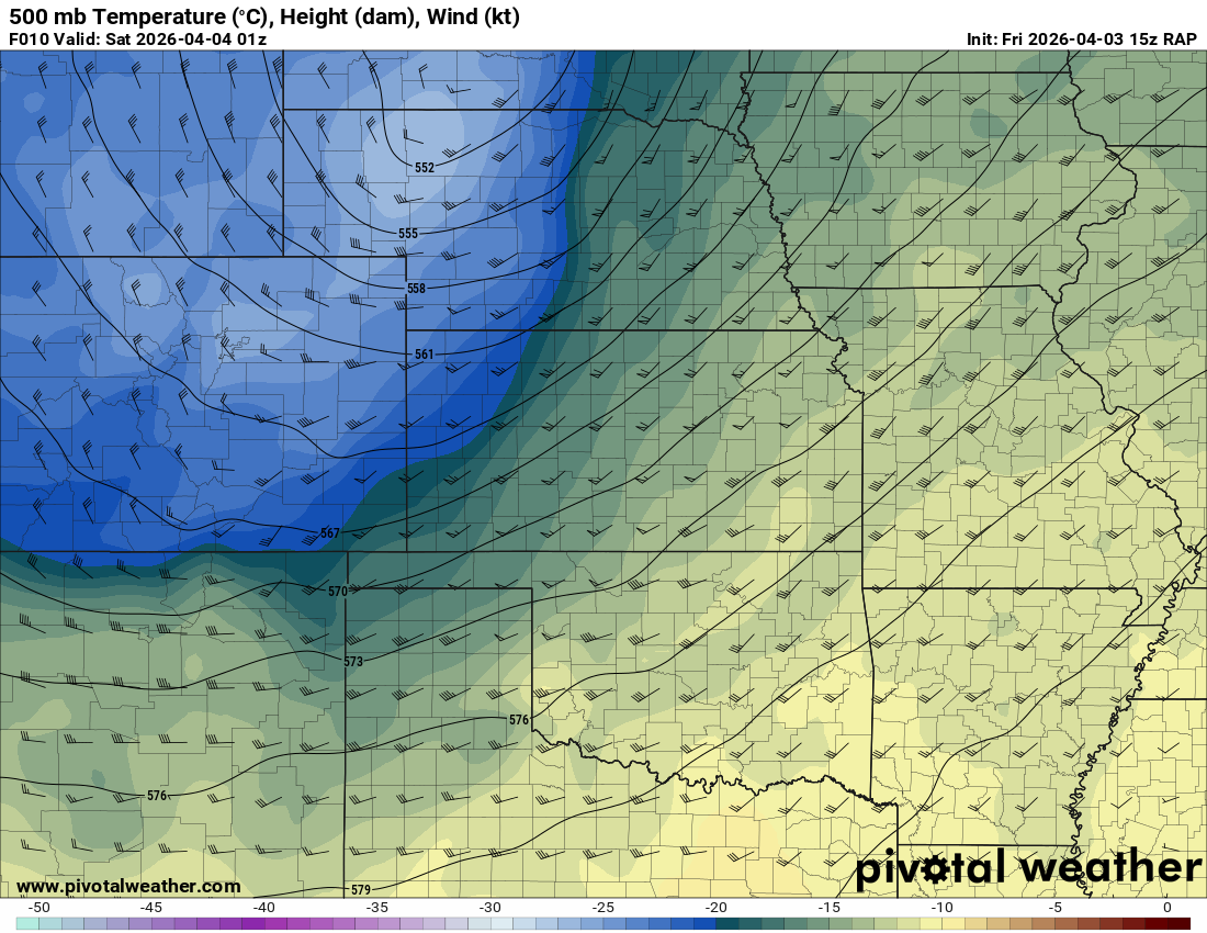
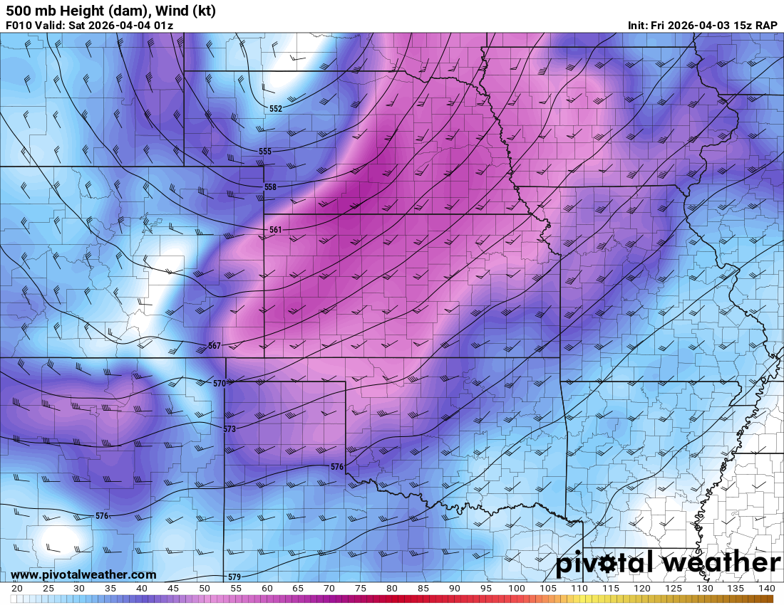

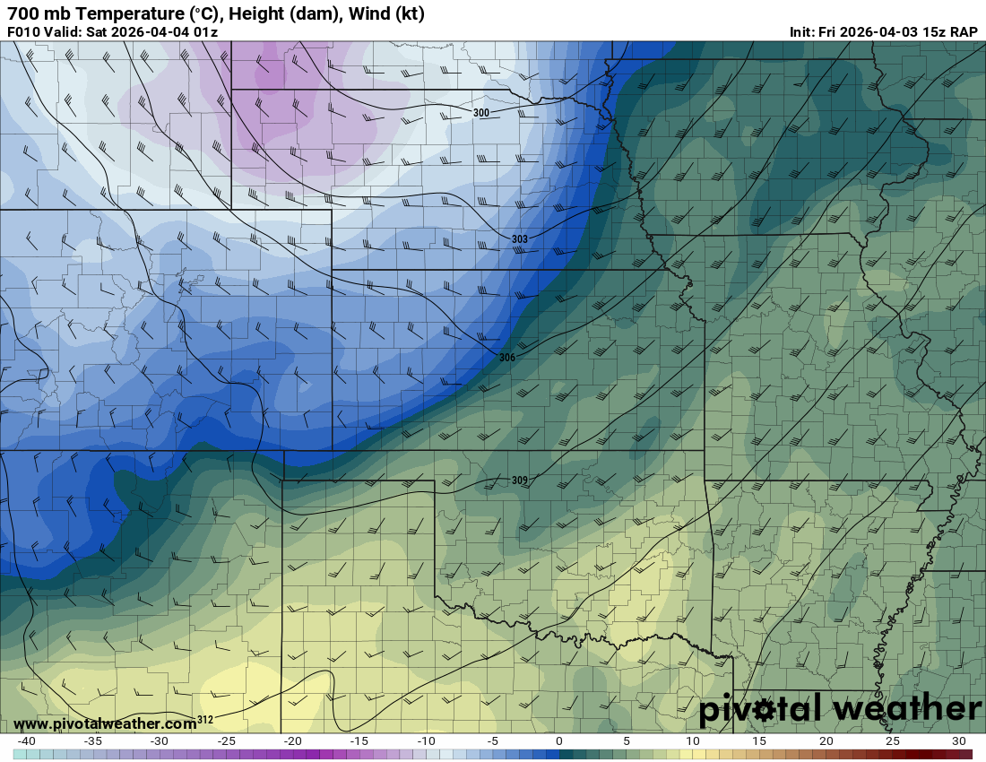
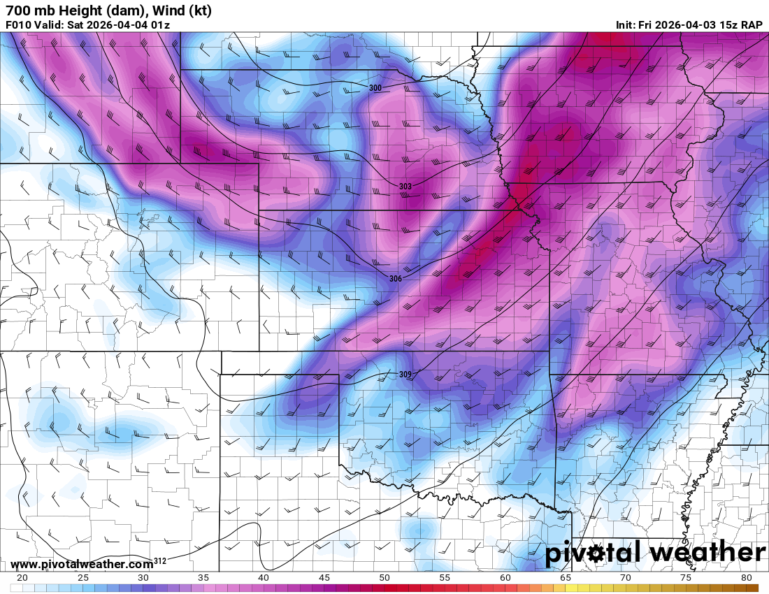
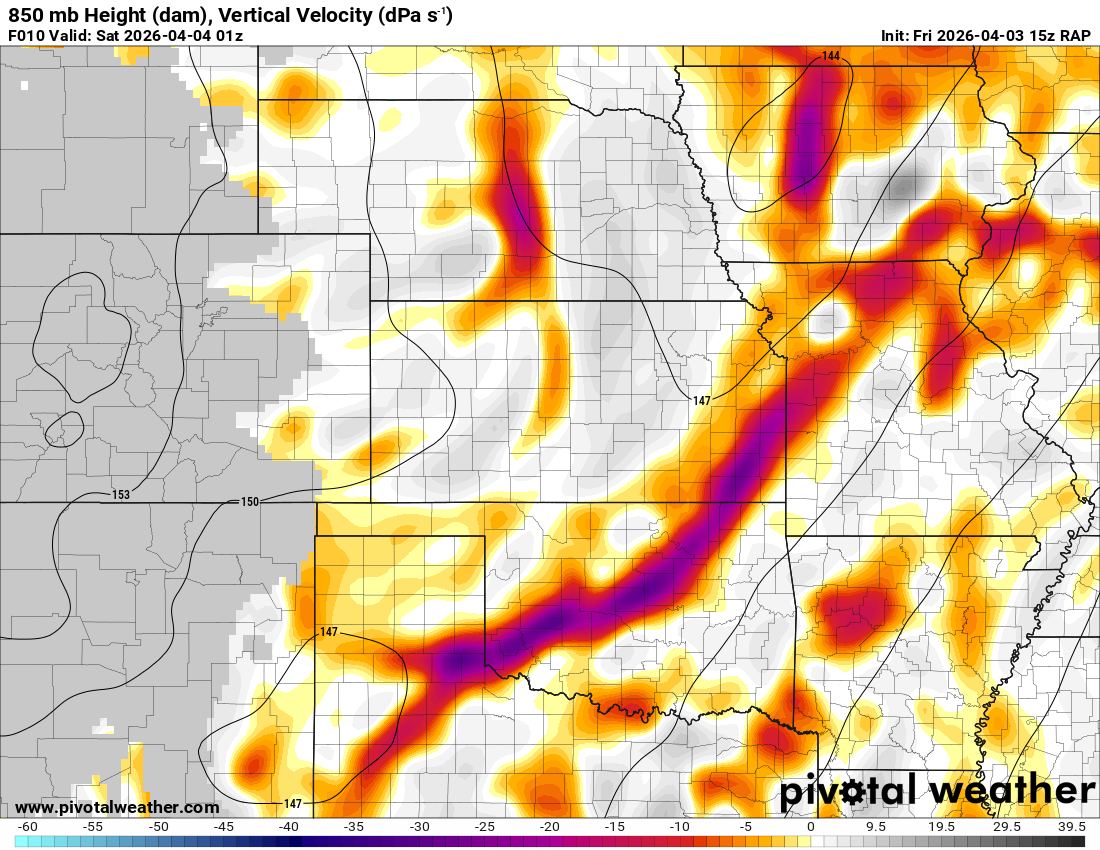
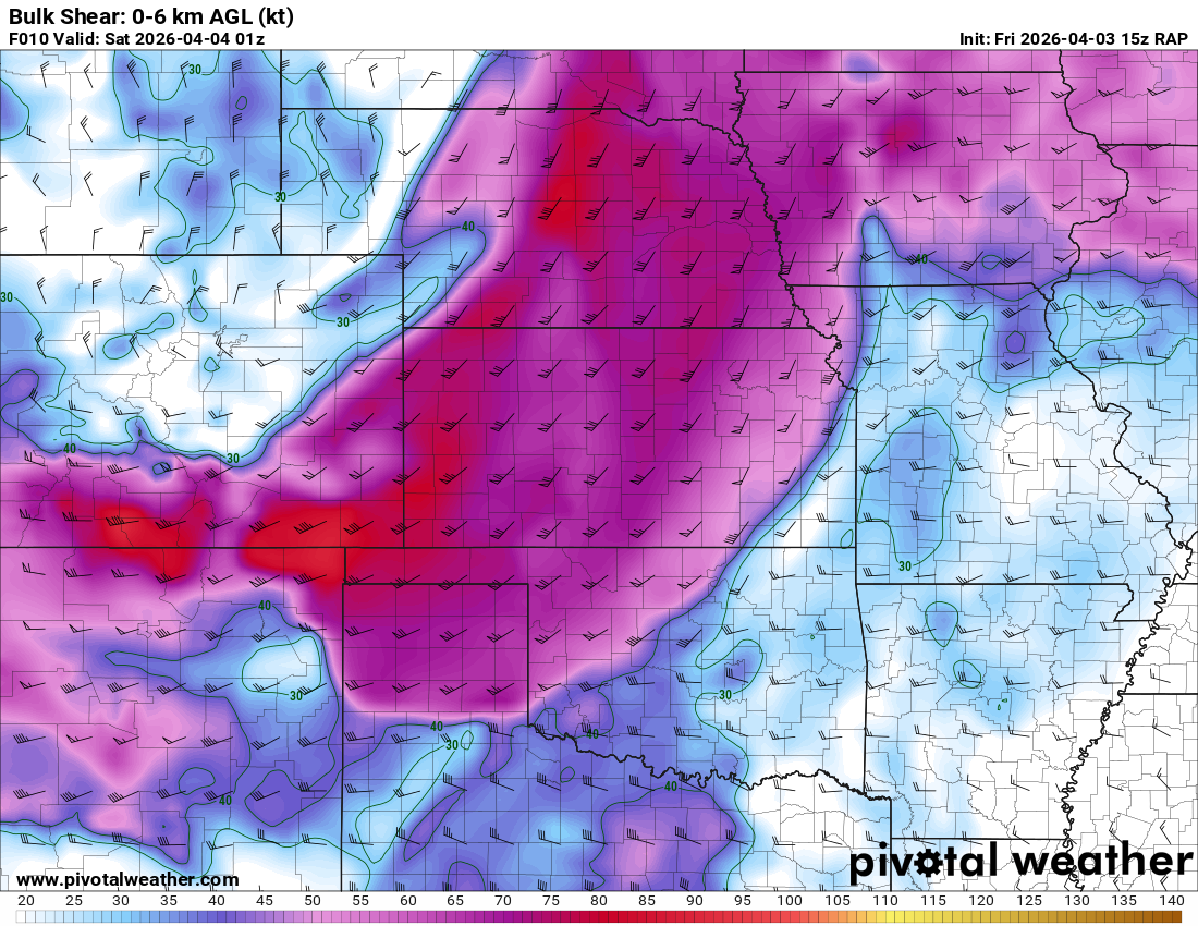
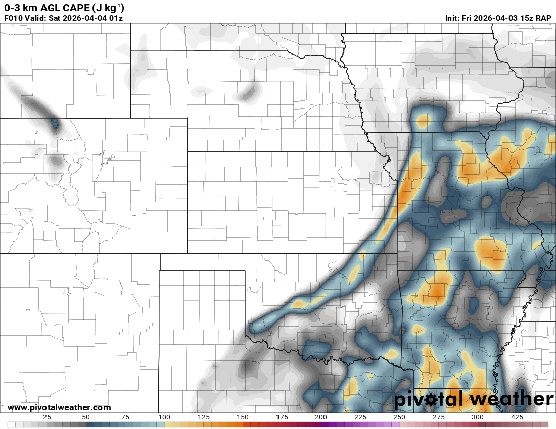
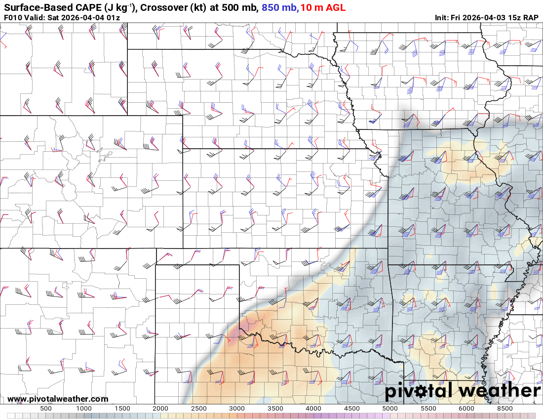
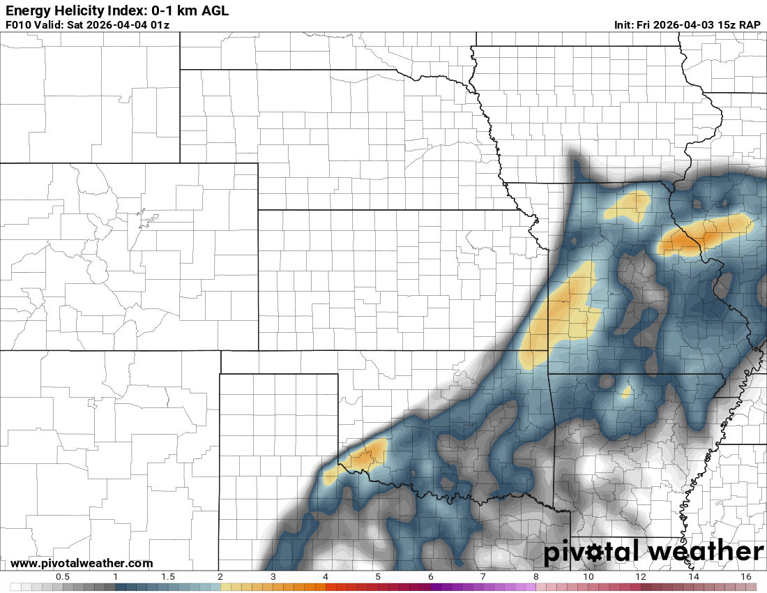
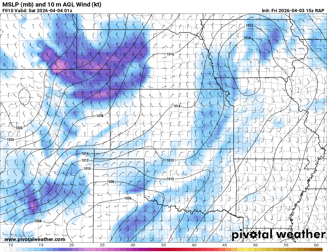
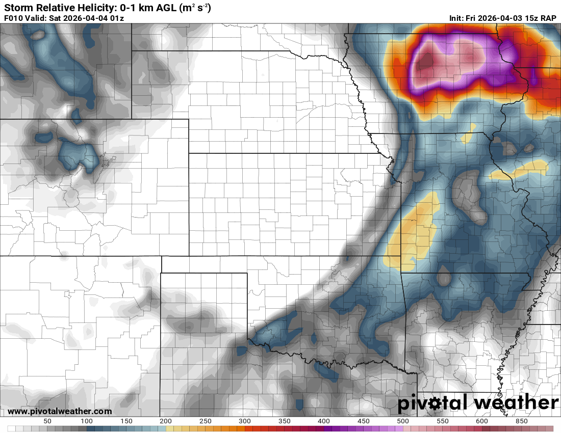
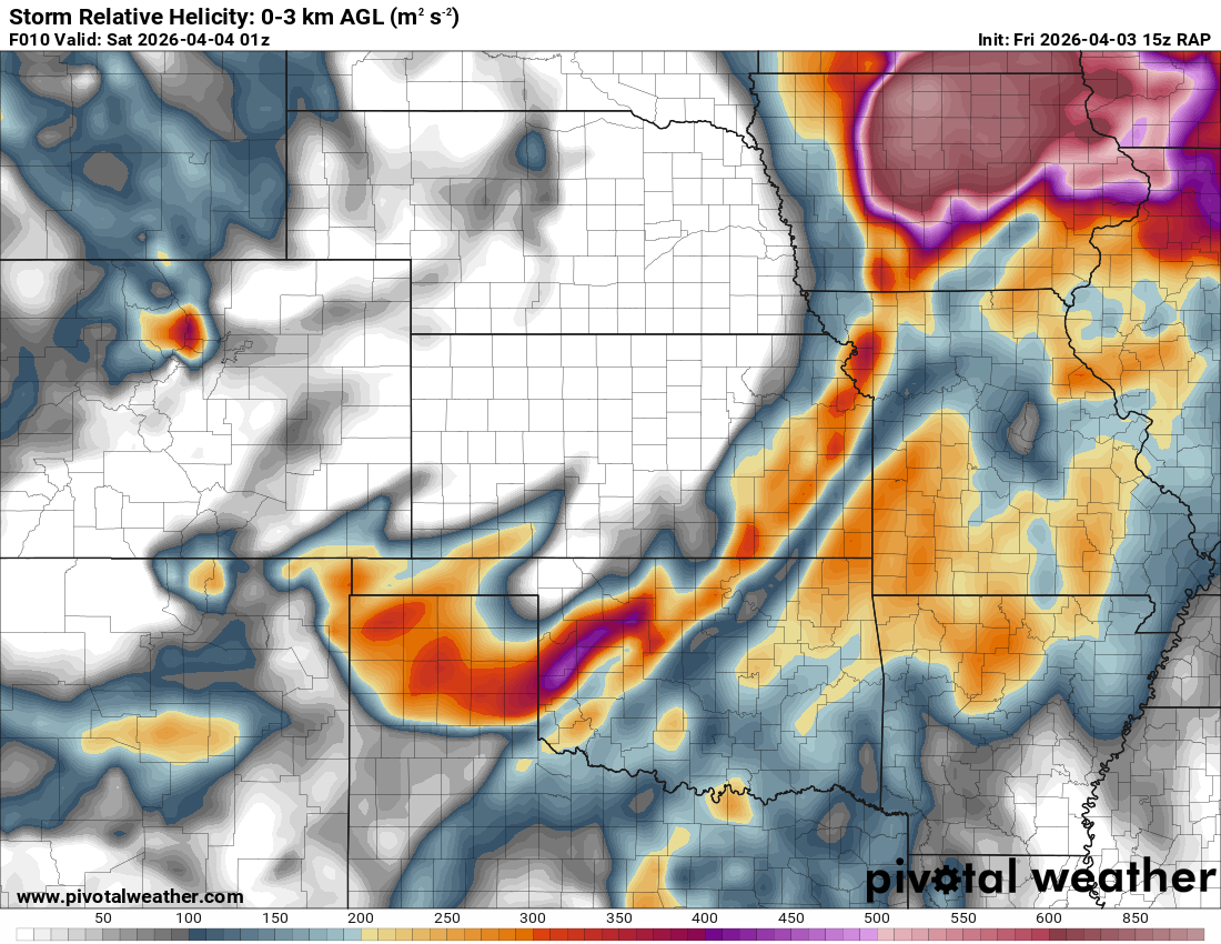
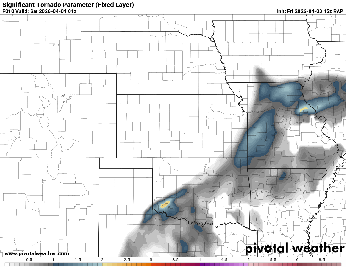
00Z Norman Sounding
The 7pm/00Z Norman sounding showed a reasonably unstable environment with a long, curved hodograph. There was quite a mid level veer back veer with weakness in the hodo between 1 and 3km, which limited greater tornado potential

Departing Norman
I left my house around 7:30 and grabbed dinner at Chipotle before continuing west on Tecumseh road to Western. I took Western to 149th and 149th to I-44 southbound. Crossing the river, I took 37 west to Tuttle.
Radar showed a reasonable couple west of Minco, and the NWS in Norman issued a tornado warning. As I approached the storms near Tuttle, I could see a lowering to my west, but could not discern if there was anything on the ground.
I took Silver City Ridge Road east to OK-4 where I stopped as the storm approached me. I captured footage of a power flash across the highway from me before proceeding back to 37 and east to I-44.
Tornado in Oklahoma City near OCCC
As I headed north on I-44, I filmed out my driver side window. The storm was extremely shelfy, however, KTLX and TOKC both indicated good rotation near Will Rogers Airport. My first exit was at 119th street. I just pulled onto the on ramp and looked for a quick moment before proceeding to 104th.
I tried to find somewhere to observe from the Wal Mart parking lot, but was unable to find a sight line so I proceeded north on the service road to 89th street.
About the time I was at 89th and I-44, the main rotation was just off to my west/northwest on the other side of I-44. I headed east on 89th all the way to Santa Fe before turning south. With the lights of the city, the extreme HP nature of the storm and the amount of potential debris, I felt the right thing was to drop south.
I made it all the way to 4th street planning to head east, but it was closed due to construction. With the radar look, I decided to head north on Eastern. Unfortunately, this was slow going as there was a great deal of flooding on Eastern. As I got back to I-240, I headed east to Douglas and then north. A new tornado warning was issued, with rotation showing best right over Tinker. Again, more flooding and construction barrels blown all over the road slowed me down here and I’d ultimately call the chase and head home.


